Discover
Directions & Parking
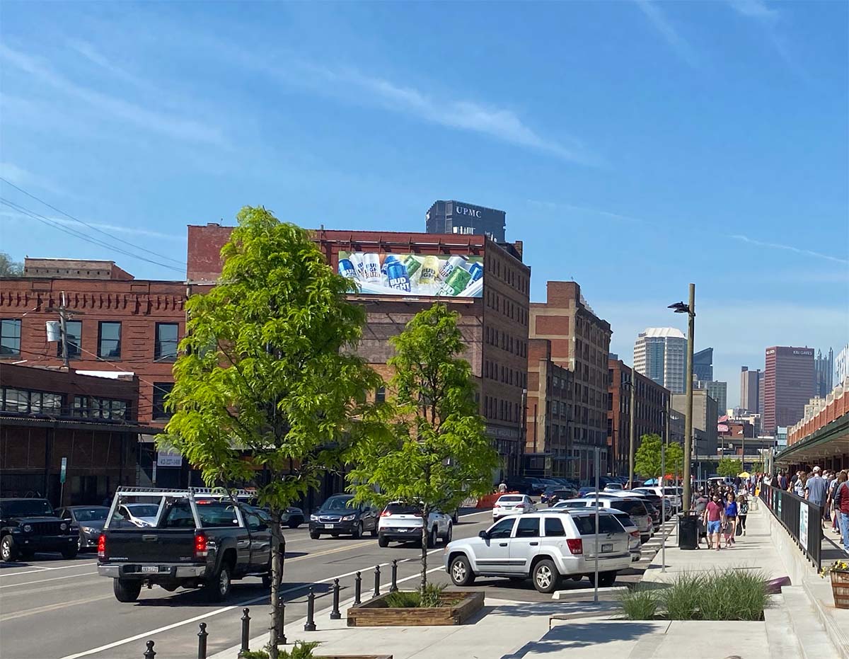
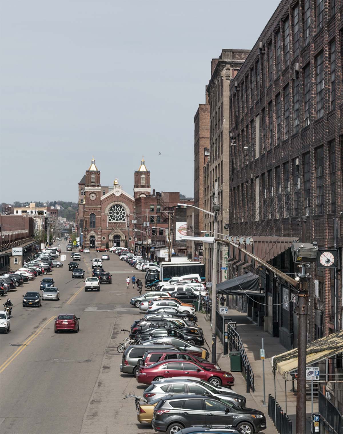
Getting to the Strip District
Getting to the Strip District by car, bus, bike, or on foot is easy. The Strip District is just east of Downtown Pittsburgh along a flat piece of land that runs between the south bank of the Allegheny River to the north, the steep hillsides of the Hill District and Polish Hill to the south and between 11th Street and 33rd Streets.
When looking at a map, the Strip sits between the river and the hills and between the two train trestles that cross the river at 11th and 33rd. Adjacent to the Strip District is the Greyhound Bus terminal and Penn Station, Pittsburgh’s Amtrak passenger train station and is one block away from the MegaBus stop at the David L. Lawrence Convention Center.
Via I-279S
Take exit 2A (East Street). Follow East Street to Ohio Street. Turn Left onto East Ohio Street to Chestnut Street. Turn right and cross over the Dave McCullough Bridge (16th Street Bridge).
From the North Side
Take East Ohio Street to Chestnut Street. Turn right and cross over the Dave McCullough Bridge (16th Street Bridge).
VIa I-376 East
Exit 70B towards Fort Duquesne Blvd/Convention Center/ Strip District. Turn left onto Smallman Street or Liberty. Avenue at 11th Street.
Via 28S
Via I-579
Port Authority of Allegheny County manages several bus routes that come through the Strip District. You can use the Port Authority of Allegheny County’s Trip Planner to find the best way to get to the Strip District. The 54, 86, 87, 88, and 91 travel through the Strip with stops on Liberty and/or Penn Ave.
A great way to visit the Strip District is on foot or by bike. Visitors from Downtown and the Northside, to our north and west, or the Lawrenceville, Bloomfield, or Polish Hill Neighborhoods, to our east, have long visited the Strip on foot or by bike. With the addition of walking trails and bike lanes, this is a great means of getting to the Strip District. Check out Bike Pittsburgh for bike maps, guides to getting around the city, information on how to safely and smartly cycle around Pittsburgh, how to prevent bike theft, and much more.
POGOH
Looking to get around the Strip and don’t have a bike? Visit the POGOH bikeshare station on 21st Street and Penn Avenue or 26th Street and Railroad Street. POGOH offers affordable membership options as well as pay-as-you-go passes. Check out their website for bike maps and more information!
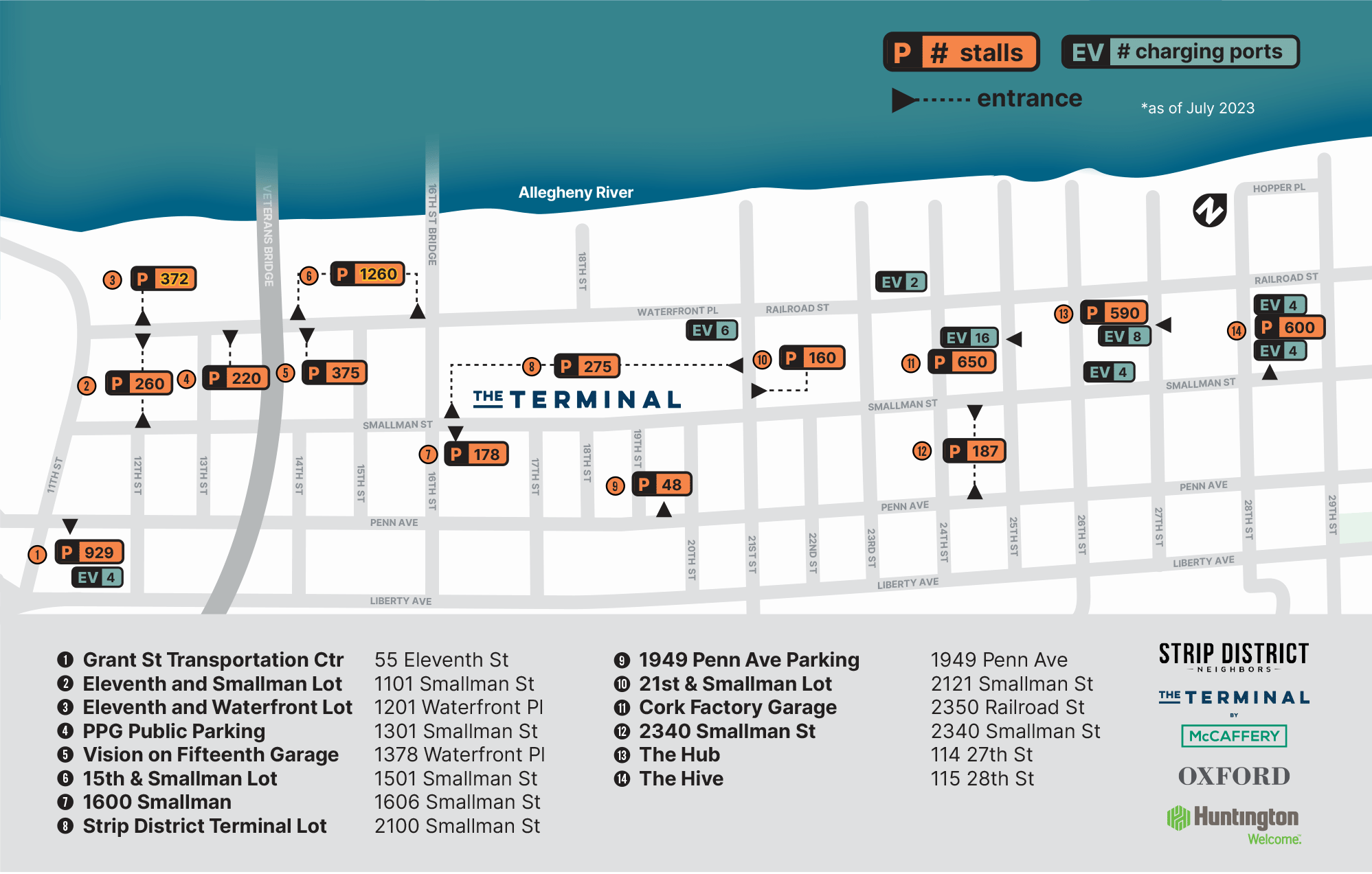
Parking Facilities
The Strip District has many great parking facilities including garages and surface lots. Parking facilities can be found through the lower and mid Strip District. Below is a map of parking lots and garages in the Strip.
We’ve attempted to only list public parking garages and lots, but there may be lease only or other private lots listed below, and any lot is subject to being leases only if it is too full. If you find an error on this map, please report it to us. Visit Parktopia to view additional information on our neighborhood’s parking options.
Parking rates in the Strip are in line with those throughout the city. Metered parking currently costs $3.15/hour. Space in some garages and lots are even less expensive, and a few lots allow all day parking at a flat rate of as little as $5.00. Most garages, lots and parking meters have automated checkout and accept credit cards.
On Street Parking
On street parking in the heart of the Historic Strip Business District is almost all metered and the current rate is $3.15 per hour. Parking meters are all digital and accept either credit/debit cards or quarters. Time can be purchased at any meter in the Strip District. You do not need to use the one closest to your car, but you do need to enter your license plate correctly to not be ticketed. Additional time can be added at any meter within the Strip District (it doesn’t need to be the one you first paid at).
For infomation on street closures in our neighborhood please see: City of Pittsburgh Street Closure Map